

Table of contents
Mooroobool, QLD
Mooroobool Cairns is a suburb in Far North Queensland. The name comes from ‘Mooroobool’ Peak, which is located west of the suburb. It is an Aboriginal word meaning ‘meeting of the waters’.
Located 5.4 kilometres (3.4 mi) west of Cairns CBD the suburb has a population of approximately 10,000.
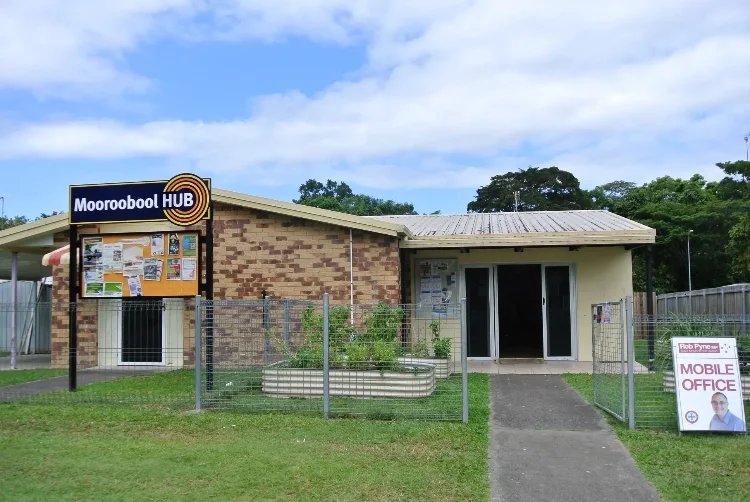
Mooroobool Hub
The Mooroobool Hub is a community hub providing collaborative and integrated service delivery focused on local needs and circumstances. The objectives are:
- Provide an outreach place-based service hub to deliver services on-the-ground.
- Build community capacity and sustainability of the Cairns West community
- Reduce youth criminal activity in Cairns West.
- Encourage positive outcomes for young people, families and communities who reside in the area.
Mooroobool Employment
When it comes to employment, the three biggest industry sectors employing people are:
- Health Care and Social Assistance (443 people or 14.0%)
- Retail Trade (361 people or 11.4%)
- Accommodation and Food Services (337 people or 10.6%)
Mooroobool Map
The suburb is located in Cairns West, between the nearby suburbs of Westcourt, Kanimbla and Earlville to the south.
Mooroobool to Cairns
Mooroobool is 5.4 km from Cairns CBD, which is about 10 minutes via car. If you prefer public transport, you can get from Cairns to Mooroobool by bus for $3, and it should take just over 5 mins. You can also scoot or cycle, so find the travel option that best suits you.
Is Mooroobool a good suburb
Mooroobool has excellent public transport links. Some areas have a higher than average crime rate. However, there is a wide range of nearby shops and services.
Balaclava State School
A government primary (Prep-6) school, Balaclava State School is the only school in the suburb. Located at 418 Mulgrave Road, the school has an enrolment of around 400 students. Moreover with 31 teachers (29 full-time equivalent) and 26 non-teaching staff (17 full-time equivalent) the school is a significant employer.
Local Government
The suburb lies in the Cairns Regional Council local government area. There are a number of Council parks in the suburb, as well as cycleways and other green spaces. Council also manages many drains and waterways, including Chinaman Creek which runs through the suburb.
Mooroobool Postcode
The post code is 4870.
Mooroobool is a multicultural suburb. 24.1% of the suburb’s population was born overseas, compared with 17.3% for Regional QLD. Countries of birth forming a greater proportion of the population in Mooroobool (compared to average) included Bhutan, Papua New Guinea, and Japan. However, a smaller percentage of residents than average were born in the United Kingdom (2.9% compared to the average of 4.4%).
Community Facilities
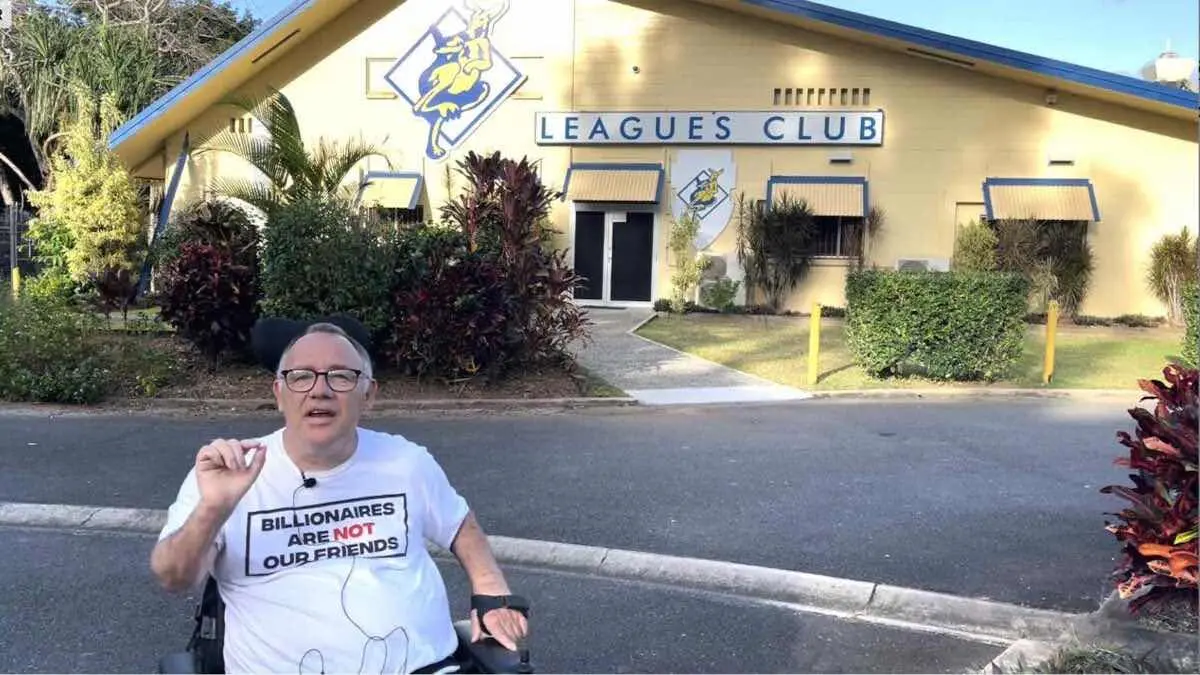
There are a number of community facilities in the suburb. Kangaroos Leagues Club is the most well-known sporting facility. Next door to Kangaroos ground in Irene Street is Cairns Men’s Shed which is also very well patronised.
In the past there has also been a strong sense of community in the suburb with community leaders coming together to solve problems and address issues.

Local Parks
There are some nice parks and green spaces in the suburb, including the Shang Street Park and Kangaroos Rugby League grounds.
Creeks and Waterways
Some of the creeks in the suburb are:
Comments
6 responses to “Mooroobool Cairns 2024 Local Guide”
[…] Mooroobool […]
[…] Mooroobool […]
[…] Mooroobool […]
[…] Mooroobool […]
[…] Mooroobool […]
[…] Mooroobool […]