Table of contents
Moody Creek Cairns
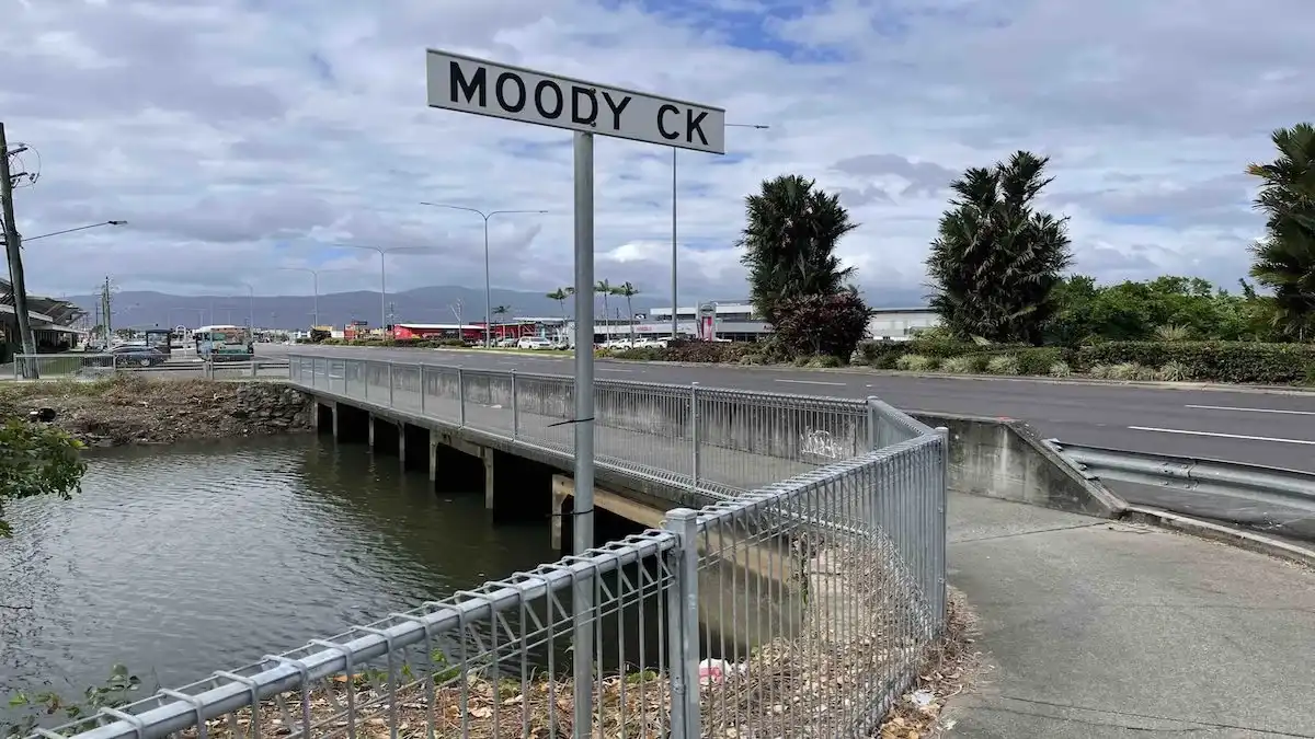
Moody Creek is a waterway in Cairns that runs through the Cairns West suburbs of Kanimbla, Manoora, Mooroobool and Westcourt. Indeed it crosses Mulgrave Road just near the well known Cazaly’s Club.
The creek continues to flow south until it meets Chinaman Creek just north of Ray Jones Drive. However, after crossing under Ray Jones Drive the water from both creeks discharges into Trinity Inlet.

Moody Creek Map
Moody Creek Detention Basin
During the tropical wet season, parts of Cairns were flooded when the creek busted its banks.
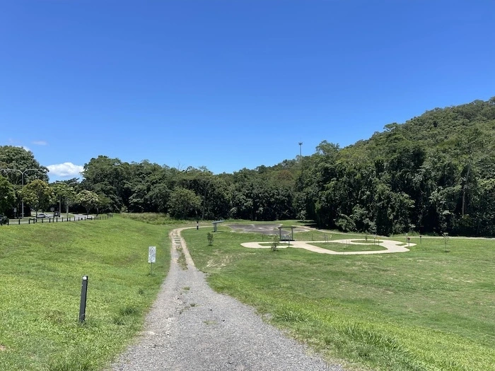
Consequently, Cairns Regional Council has attempted to remedy this situation with construction of a detention basin (located on Ramsay Drive). The basin is a small dam that will let no more water over the spillway than the city can handle.
However, as it is designed to handle 1 in 20 year weather events, downpours in excess of this may cause flooding downstream. There has been no widespread flooding in the catchment since the detention basin was constructed.
However, once the water level in the basin reaches 29 metres there is expected to be significant flooding across the downstream floodplain of Moody Creek.
Moody Creek Park
There is a small cycling pathway and seating at the east end of the basin, for use when the basin is not detaining water (which is 99 per cent of the time).

Fresh Water – Salt Water
The creek originates as a freshwater stream out of the Cairns foothills. However, as the creek approaches Mulgrave Road and flows south, it becomes increasingly salty.
Before crossing Ray Jones Drive, our now salt-water stream merges with and is consumed by Chinaman’s Creek.
Fishers and other recreational users of the creek should be very careful when they proceed downstream, as salt water crocodiles are known to frequent the area. Locals and visitors alike are reminded to be croc safe in croc-country.
Moody Creek FAQs
This creek is located in Cairns in Far North Queensland. It runs through a number of Cairns suburbs, before discharging into Trinity Inlet.
There are crocodiles in this creek. The closer you get to Trinity Inlet, the more likely you are to find one. Please remember to be safe, as these animals can eat you.
Other Creeks and Waterways
- Cairns Creeks
- Bana Gindarja
- Chinaman Creek
- Lake Morris
- Lily Creek
- Moody Creek
- Mulgrave River
- Saltwater Creek


Comments
6 responses to “Moody Creek Guide 2024”
[…] Moody Creek […]
[…] Moody Creek […]
[…] Moody Creek […]
[…] Moody Creek […]
[…] Moody Creek […]
[…] Moody Creek […]