

Table of contents
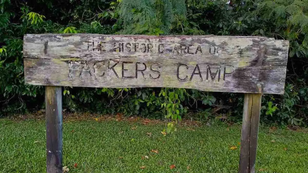
Packers Camp Cairns
Packers Camp is located in the traditional lands of Yidinji people in Far North Queensland.
The area was known as Highclere, however this name changed to Highleigh in 1896. The name Packer Camp was adopted because the area was used as a place where horse, mule and bullock teams were loaded for those making the trip over the range to the goldfields.
A postal office opened in 1895 but closed in 1898. Then in 1951 the Packers Creek Post Office opened, closing in 1971.
Packers Camp is bounded by Pine Creek (north); Pine Creek Yarrabah Rd (eastern and south); and Mackey Creek (west). In addition, Simmonds Creek traverses the locality from south to north. All of these creeks become tributaries of the Redbank Creek which flows into Trinity Inlet and then to the Coral Sea at Cairns City.
Packers Camp Map
Local Land Use
Today land in this area is mainly used for growing sugarcane. Consequently there are cane tramway lines across the locality which are used to get the cane to the mill. There are also a number of rural residences, mainly located along Redbank Road.
Packers Camp is low-lying (less than 10 metres above sea level) and almost entirely freehold.
The area lies in Division 1 of Cairns Regional Council and is in the State electorate of Mulgrave. It is within the Kennedy Electorate in the Australian Parliament.
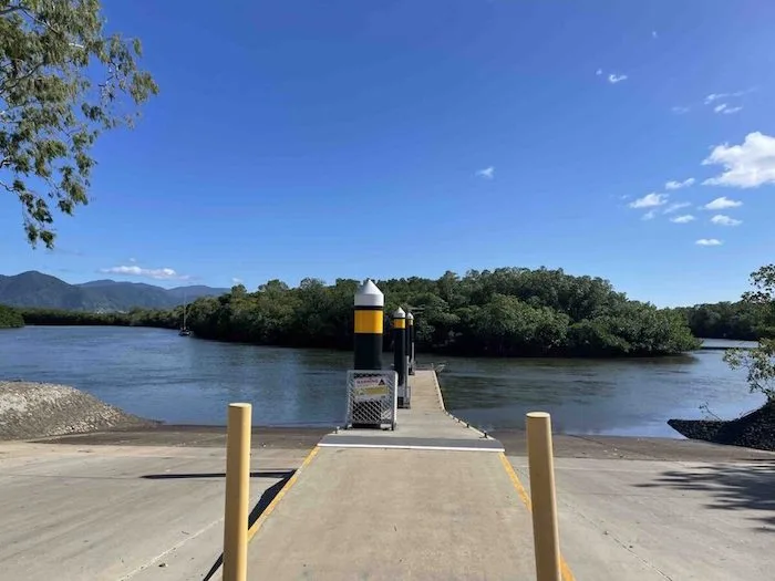
Packers Camp Boat Ramp
The Packers Camp boat ramp is now suited to all tides, featuring four lanes and a floating walkway catering for the local fishing and recreational community.
Consequently, the ramp and floating walkway has improved safety and accessibility through improved boat launching and retrieve operations and provides better access for pedestrians.
Other South Cairns Suburbs
- Bentley Park
- Edmonton
- Gordonvale
- Mount Sheridan
- Packers Camp
- White Rock
- Woree